3. St_Anns_Banks_AIS
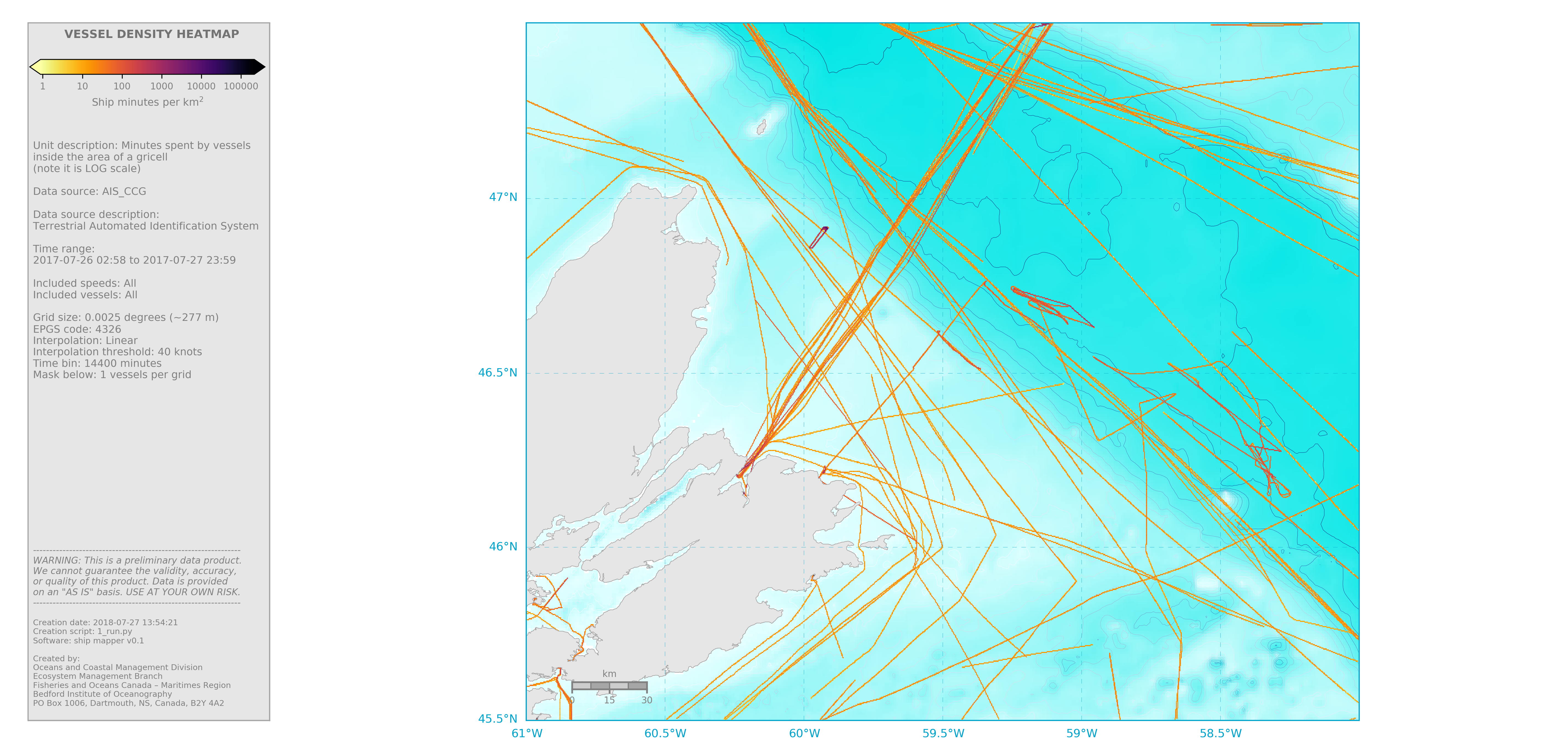
Executing 1_run.py (shown below) will produce the following map.

Note that before you execute 1_run.py, you need to ensure that the
.basemap and .grid files were made before and are available (they
should be in the /grids/St_Anns_banks directory). If not,
you have to make them using make_basemap.py
Below are the contents of 1_run.py
import ship_mapper as sm

info = sm.make_info_from_GridData(calling_file=__file__,
                                  run_name='1_run',
                                  region='St_Anns_Bank',
                                  basemap='basemap_sidebar',
                                  grid_type='generic',
                                  data_name = 'AIS_CCG')

# Change or define some items within info
info.sidebar.included_vessel_types = 'All'
info.grid.interp_threshold = 40 #knots
info.maps.mask_below = 1
info.maps.textbox = True
info.maps.cbarmin = 'auto'
info.maps.cbarmax = 'auto'

## ----------------------------------------------------------------------
##Convert original data to nc
#sm.bulk_convert_to_nc(info.converter,
#                      path_to_data_in=info.dirs.data_original,
#                      overwrite=False)
#
#
## Filter and grid all input files
#for file_in in sm.get_all_files(info.dirs.data_nc):
#
#    # Get file name
#    file_name = sm.get_filename_from_fullpath(file_in)
#
#    # Filter data (spatial trimmer)
#    filtered_data = sm.spatial_filter(file_in, info)
#
#    # Project "dots" into a grid
#    sm.gridder(info, filtered_data, file_name, overwrite=True)
#
#
## Merge grids
#sm.grid_merger(info)

# Make map
m = sm.map_density(info, cmap='inferno_r',sidebar=True)

sm.grid_to_esriascii(info, file_in=None)

# Make shapefiles
#sm.mergedgrid_to_shp(info)